


insigne
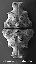
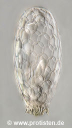
cucurbita
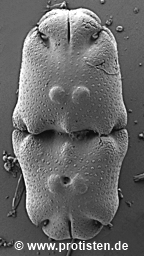
fimbriata
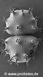
cucurbita
spinosa
praegeri
leptopus
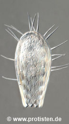
wailesii
armatum
neosinuosum
ventricosum
filifera
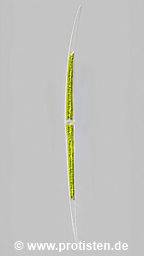
spiralis
brightwellii
cristata
labiata
elongata
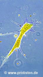
enchelys
pronum
labyrinthuloides
pellionellum
discoides
gibba
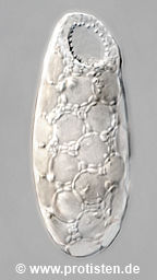
cassis
elongata
oblonga
bathystoma
capreolata
var. masurica
globulosa
insigne
cucurbita
fimbriata
cucurbita
spinosa
praegeri
leptopus
wailesii
armatum
neosinuosum
ventricosum
filifera
spiralis
brightwellii
cristata
labiata
elongata
enchelys
pronum
labyrinthuloides
pellionellum
discoides
gibba
cassis
elongata
oblonga
bathystoma
capreolata
var. masurica
globulosa